
How to Lease Survey Vessels for Marine Mapping Successfully

Marine mapping has become an essential component of modern maritime and offshore operations. Accurate mapping of coastal and offshore regions supports a variety of industries, including shipping, offshore energy, fisheries, and environmental management. For companies operating in these sectors, leasing survey vessels for marine mapping has emerged as a practical and cost-effective solution.
What Are Survey Vessels for Marine Mapping?
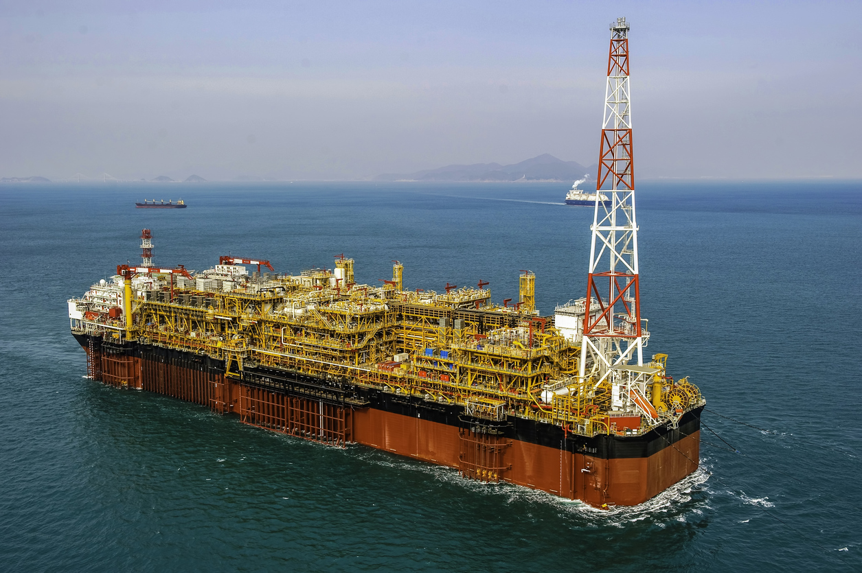
Survey vessels are specially equipped ships designed to collect detailed data about the seabed, water column, and surrounding marine environment. These vessels are outfitted with advanced sonar systems, GPS technology, and other geospatial instruments that allow for precise mapping of underwater terrains.
By leasing survey vessels, businesses gain access to cutting-edge technology without the need for significant capital investment in equipment or vessel ownership. This flexibility is especially beneficial for companies with intermittent survey needs or those operating in regions where purchasing and maintaining a vessel is not cost-effective.
Benefits of Leasing Survey Vessels
Cost-Effective Solutions
Leasing a survey vessel allows companies to access high-quality marine mapping tools without the upfront costs of purchasing a vessel. It eliminates maintenance and operational expenses while offering flexibility in scheduling surveys according to project timelines.
Access to Expertise
Many leased survey vessels come with experienced crews trained in marine surveying and geospatial data collection. Leveraging their expertise ensures accurate and reliable data, reducing the risk of errors that could impact offshore operations.
Scalable Operations
Whether a company requires a single coastal survey or a large offshore mapping project, leasing vessels offers scalability. Businesses can choose the right vessel size and equipment to match their project needs, optimizing both efficiency and budget.
Applications of Marine Mapping
Marine mapping is critical across multiple industries. Survey vessels play a key role in:
-
Offshore Energy: Mapping seabeds for oil, gas, and renewable energy installations to ensure safe and efficient operations.
-
Shipping and Navigation: Creating updated nautical charts to guide vessels safely through coastal and deep-water routes.
-
Environmental Management: Monitoring marine habitats and assessing the impact of industrial activity on ecosystems.
-
Infrastructure Development: Supporting the planning and construction of ports, pipelines, and underwater cables.
By leasing survey vessels, companies can undertake these projects with confidence, knowing they have access to accurate, high-resolution data.
How Wigmore Trading Supports Marine Mapping Projects
Wigmore Trading specializes in providing access to survey vessels for marine mapping, catering to businesses in the import/export, logistics, and offshore sectors. We connect clients with vessels equipped with the latest technology and skilled crews, ensuring seamless execution of marine mapping projects.
Our team works closely with clients to assess project requirements, recommend suitable vessels, and manage logistics. Whether you need short-term surveys or long-term offshore mapping operations, Wigmore Trading can provide practical solutions that streamline your workflow and reduce operational costs.
Practical Tips for Businesses Leasing Survey Vessels
-
Define Your Survey Objectives: Clearly outline the scope of your mapping project to ensure the leased vessel is equipped with appropriate technology.
-
Check Equipment and Capabilities: Confirm that the vessel has the necessary sonar, GPS, and data processing tools to meet your specific requirements.
-
Evaluate Crew Expertise: Ensure the vessel’s crew is experienced in marine mapping and data collection to maximize accuracy.
-
Plan Logistics in Advance: Coordinate scheduling, permits, and operational requirements to prevent delays during the survey.
-
Leverage Data Effectively: Analyze collected data promptly and integrate it into project planning to gain actionable insights.
By following these steps, businesses can optimize their marine mapping efforts and achieve high-quality results with leased survey vessels.
Conclusion
Leasing survey vessels for marine mapping is a strategic approach for companies seeking accurate, efficient, and cost-effective solutions for offshore and coastal projects. With access to specialized equipment, skilled crews, and scalable operations, businesses can enhance safety, improve planning, and gain a competitive edge in their industries.
Wigmore Trading can help. Contact our team today to streamline your marine mapping operations and ensure precise, reliable survey data for your projects.


Comments are closed.